Life-Threatening Floods Pummel North Carolina: Live Tracker Maps
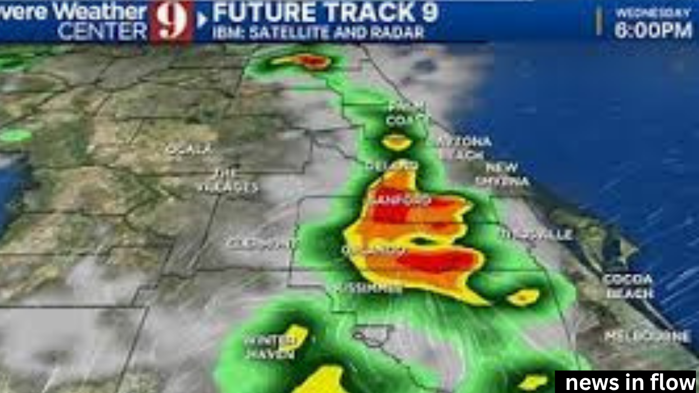
Life-Threatening Floods Pummel North Carolina: Live Tracker Maps Severe floods have devastated parts of North Carolina, prompting evacuations, road closures, and widespread damage. Heavy rainfall from a slow-moving storm system has pushed rivers over their banks, submerging homes, businesses, and entire communities.
As the situation unfolds, residents are urged to stay updated using live flood tracker maps and official alerts.
Emergency Declared Across Multiple Counties
Several counties, including Wake, Durham, and Mecklenburg, are under a state of emergency. Authorities report that rainfall totals have exceeded 10 inches in some areas, triggering dangerous flash floods.
Governor’s officials have mobilized the National Guard to assist with rescue operations and shelter support. Swift water rescue teams have been deployed in several locations.
Emergency crews have pulled dozens of people from stranded vehicles and flooded homes. No fatalities have been confirmed, but serious injuries have been reported in some areas.
Roads and Infrastructure Under Water
Major roadways, including parts of I-40 and I-85, have been shut down due to rising waters. Images and videos show cars submerged, bridges washed out, and parking lots turned into lakes.
Power outages are widespread, leaving over 150,000 customers without electricity, especially in low-lying and coastal communities.
Officials continue to warn drivers: “Turn around, don’t drown.”
Use Live Tracker Maps to Stay Safe
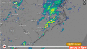
Residents can follow the latest flood activity through real-time flood tracker maps available on:
-
NOAA Flood Monitoring Tools
-
The Weather Channel Flood Tracker
-
North Carolina Emergency Management Updates
-
Google Crisis Map for North Carolina Floods
These tools show up-to-date flood zones, evacuation routes, shelter locations, and river gauge readings.
Experts urge families to monitor these maps regularly and heed local alerts to avoid life-threatening conditions.
Schools, Events, and Services Closed
Dozens of public schools and universities have announced closed or remote learning until conditions improve. Outdoor events concerts, and festivals scheduled .
Hospitals are operating under emergency protocols, and many clinics have suspended non-essential services.
Climate Experts Point to Rising Risk
Meteorologists say this level of flooding reflects a broader trend of more intense and frequent storms fueled by climate change. Warmer temperatures increase moisture in the air, resulting in heavier downpours and flash floods.
North Carolina, especially in the eastern region, remains vulnerable to extreme weather. Planning and infrastructure improvements are now critical to reducing long-term risk.
Final Warning and Safety Tips
Officials stress that this is an ongoing and dangerous situation. Residents should avoid floodwaters, stay indoors, and monitor local news and live weather trackers for developments.
To stay informed:
-
Sign up for NC Alert notifications
-
Follow local government social media accounts
-
Download flood tracking apps